EO Mini Gimbal
Uncover Hidden Details from Distance
The EO Mini Gimbal is a lightweight, drone-based device with daytime imaging capabilities.
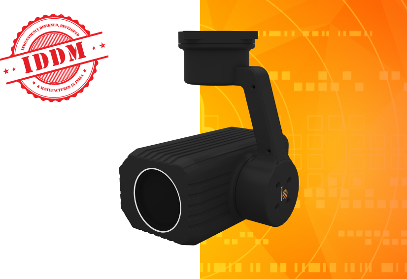
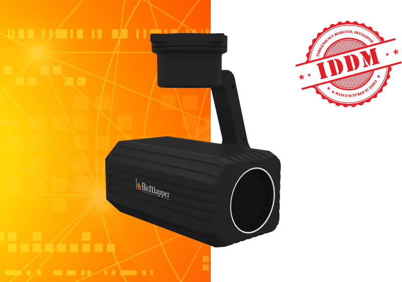
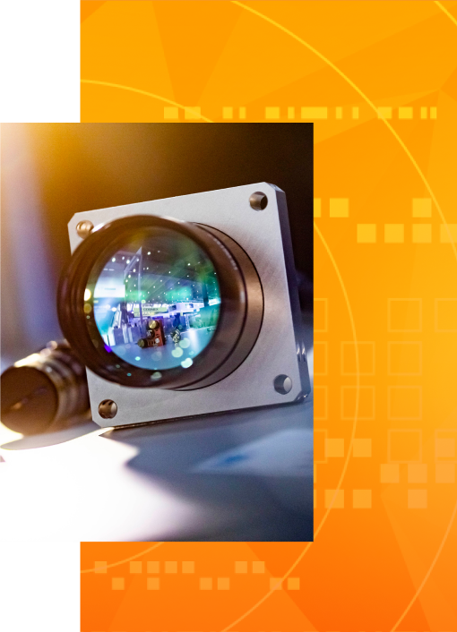
The EO Mini Gimbal by Bit Mapper is a vision system that delivers seamless aerial imaging with exceptional detail. Perfect for inspection, surveillance, and search and rescue operations, the gimbal’s camera offers impeccable daytime imaging capabilities that uncover hidden details.
The camera offers up to 33x optical zoom to enable smooth video streaming and high-quality photography from a distance. The EO Mini Gimbal is the ultimate imaging device for all drone-based applications, operating flawlessly even in low-light conditions.

Features

Ruggedized Design
For Outdoor Operating in Harsh Conditions

2-Axis Stabilisation
Clear Streaming and Motion Photography

Auto-Object Tracking
With Follow-on Feature

IP65 Ingress Protection
For Indoor and Outdoor Use

360° Yaw Rotation
Minimises Blind Spots for Complete Vision

Rapid Video Output
Features Ethernet for Fast Streaming
Key Features
01
Ruggedized Design

02
2-Axis Stabilisation

03
Auto-Object Tracking

04
IP65 Ingress Protection

05
360° Yaw Rotation

06
Rapid Video Output

01
Ruggedized Design

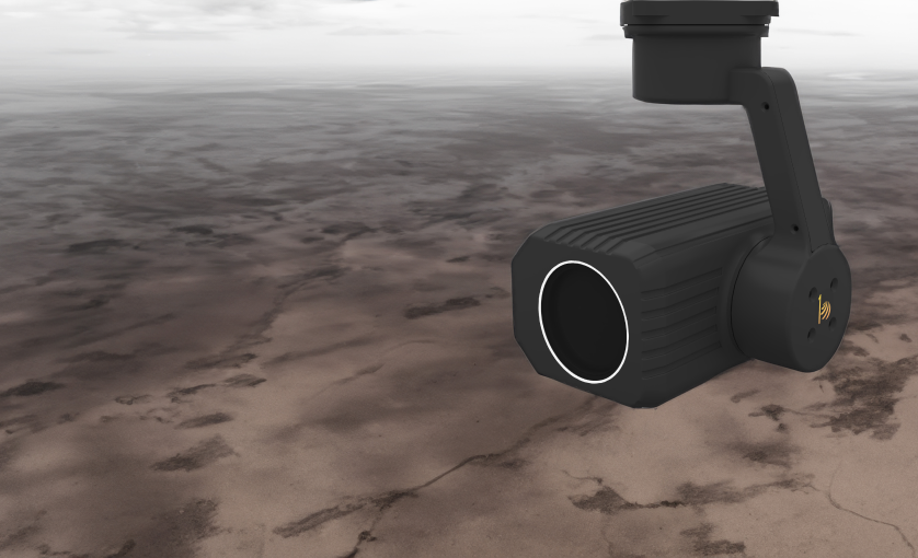
For Outdoor Operating in Harsh Conditions
02
2-Axis Stabilisation


Clear Streaming and Motion Photography
03
Auto-Object Tracking


With Follow-on Feature
04
IP65 Ingress Protection


For Indoor and Outdoor Use
05
360° Yaw Rotation


Minimises Blind Spots for Complete Vision
06
Rapid Video Output


Features Ethernet for Fast Streaming

For Outdoor Operating in Harsh Conditions

Clear Streaming and Motion Photography

With Follow-on Feature

For Indoor and Outdoor Use

Minimises Blind Spots for Complete Vision

Features Ethernet for Fast Streaming
Hardware
Daylight Camera
Daylight Camera
Daylight Camera
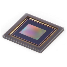
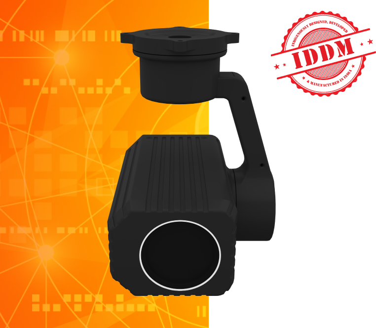
The Mini gimbal’s camera features a 2 MP CMOS Sensor, enabling high-definition video streaming at 30 fps and 33x optical zoom. The camera’s 2-axis stabilization design allows imaging even while your drone is in motion.
Gallery
Previous
Next
Use Cases
- Imaging landscapes, land survey, and topography.
- Day/night surveillance of high-security areas.
- Remote video operation capability for better rescue and target location.
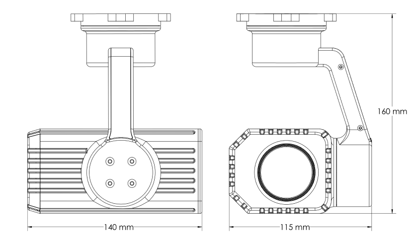
Global Dimensions
Specifications

Day Camera
Sensor 1/2.6” 2 MP CMOS Sensor
Focal length 33X Optical zoom, 4.5 mm to 148.5 mm
Video Output 720p @30fps Ethernet

Pan/Tilt Mechanical
Tilt Angle +90° to -90° (Variable)
Proportional Pan/Tilt Auto adjusts pan/tilt speed based on zoom level
Ingress Protection IP65
Weight 1 kg

Range Performance for Vehicles with 70% Probability
Detection 1850 m
Recognition 370 m
Identification 185 m
More Specifications

Day Camera
Sensor
1/2.6” 2 MP CMOS Sensor
Focal length
33X Optical zoom, 4.5 mm to 148.5 mm
Video Output
720p @30fps Ethernet

Pan/Tilt Mechanical
Tilt Angle
+90° to -90° (Variable)
Proportional Pan/Tilt
Auto adjusts pan/tilt speed based on zoom level
Ingress Protection
IP65
Weight
1 Kg

Range Performance for Vehicles with 70% Probability
Detection
1850 m
Recognition
370 m
Identification
185 m
More Specifications

Thermal Camera
Thermal Imager
Uncooled VOx Microbolometer
Spectral Band
7.5 - 13.5 μm
Thermal Resolution
336 x 256
Lens
19mm
Pixel Size
17 μm
More Specifications

System
Computing Platform
NVIDIA Xavier NX
AI performance
6 TFLOPS
GPU
384-core NVIDIA Volta™ GPU with 48 Tensor Cores
CPU
6-core NVIDIA Carmel, Arm®v8.2 64-bit CPU, 6MB L2 + 4MB L3
Memory
8 GB 128-bit LPDDR4x DRAM
Storage
Flash eMMC 16GB SSD 1 TB

Optical
Sensor
Lens
Angle of View
CMOS
9 – 36mm f1.8 – 3.4
140° HOV

Environmental Qualification
Storage Temperature
Operating Temperature
Operating Humidity
-40°C to +60°C
-30°C to +60°C
80% relative

Mechanical data
Dimensions
Weight
Mil Qualification
IP Qualification
Connector
70 mm x 90 mm x 30 mm
200g
MIL-STD 810
IP67
USB Type C
Sensor
Sensor -IMX334
Sensor Type - 1/1.18” CMOS
Resolution - 3840 x 2160
Megapixels - 8.29 MP
Pixel Size - 2µm x 2µm
Pixel Formats Supported - RAW10, RAW12, RGB/span>
Shutter Type - Rolling Shutter
Frame Rate - 30fps, 60fps

System
Storage - 16GB eMMCv 5.1,
Processor - NVIDIA Carmel ARM ®v8.2”, 64- bit CPU, 6MB L2 + 4MB L3
GPU- NVIDIA Volta, GPU with 48 Tensor Cores
More Specifications

Audio & Video
Audio Input
Compression
Resolution
Frame Rate
Video Output
1 mic
H.264/H.265 video compression
Full HD 1080p
1080p@60, 1080p@30, 720p@60, 720p@30
2-inch Full HD LCD Screen

Laser range finder (LRF)
Detection Range
10m -1500m
Resolution Ratio
0.1 m
Laser Wavelength
905nm (class 1 safer laser)
Divergence Angle
3mrad
Baud rate
9600/115200bps
Accuracy
Better than 1m
See Less

Range Performance
Detection
1370 m
Recognition
340 m
Identification
170 m

Laser range finder (LRF)
Divergence Angle
3mrad
Baud rate
9600/115200bps
Accuracy
Better than 1m

Range Performance
Detection
Recognition
Identification
1370 m
340 m
170 m

Laser range finder (LRF)
Detection Range 10m -1500m
Resolution Ratio 0.1 m
Laser Wavelength 905nm (class 1 safer laser)
Divergence Angle 3mrad
Baud rate 9600/115200bps
Accuracy Better than 1m

 The Phoenix Group® Homepage


